
main content start
Drones
Data science and drones for better decision making
UNICEF Country Office
Sierra Leone
investment Stage
Early Stage
investment status
Graduated
year initiated
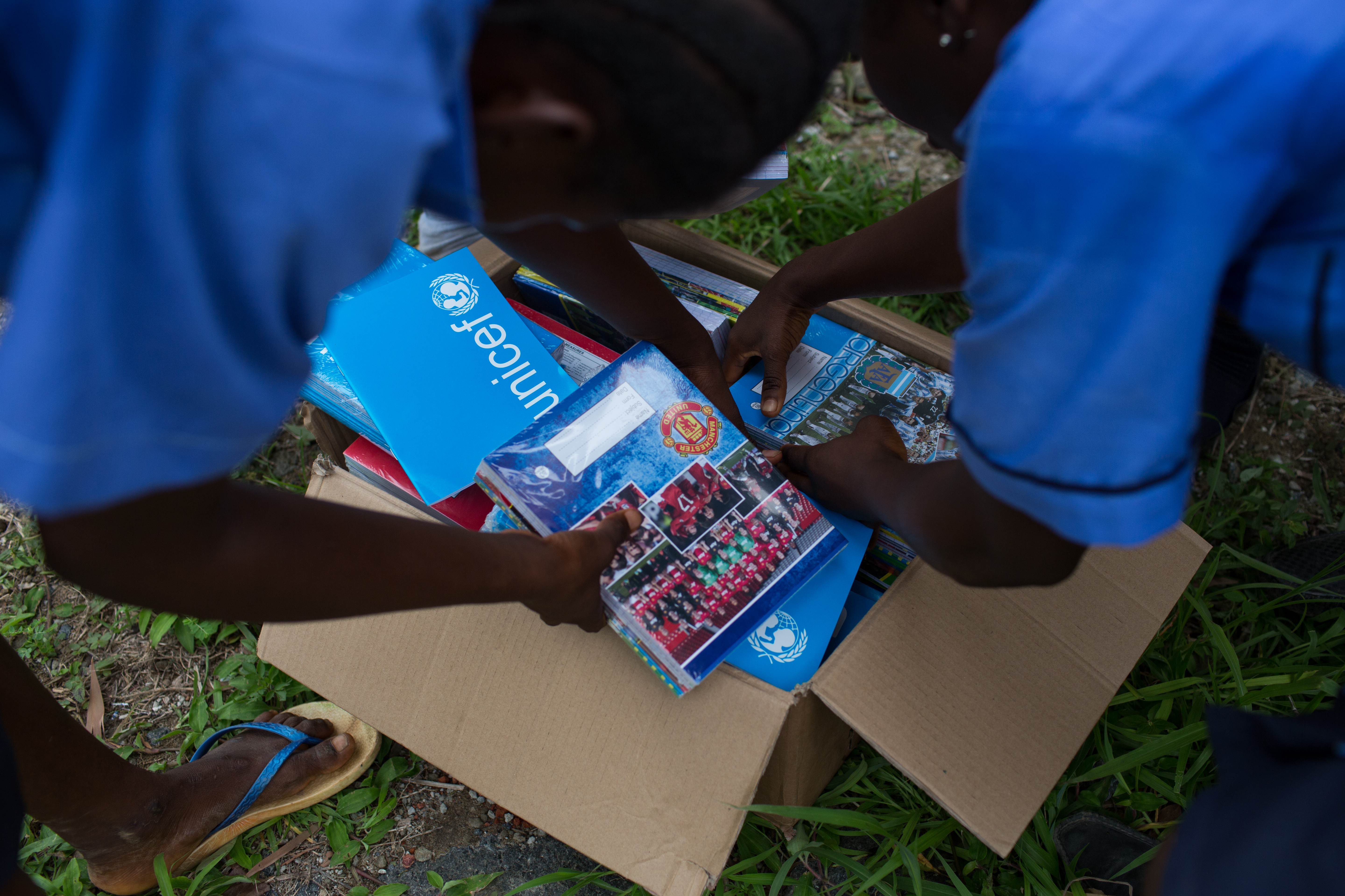
UNICEF Sierra Leone is deploying Data Science techniques and models developed in MagicBox, and Drone technology to support enhanced data analysis, with the supplementary collection of imagery data using Drones to effectively use data for decision making, particularly for education related use cases. This is achieved through a knowledge exchange amd mentoring approach between the Data Science & drones teams of UNICEF and the newly established Sierra Leone Directorate of Science, Technology and Innovation (DSTI). Particularly, the data science models will help i) better identify out of school children to support targeted action, ii) support optimal location of schools, iii) identify existing systemic factors that impact learning outcomes in Sierra Leone, and iv) identify optimal location for MNO towers to increase connectivity efficiently.
As part of the Government’s Free Quality School Education Program (FQSE), drones will augment and provide accurate ground truth data for the Data Science work around the educational infrastructure, including accurately mapping schools, assess their current status and identify their needs (roofs, latrines, clean water sources, etc.). This will prove a use case around how drones can service a gap in the Annual School Census reporting, shifting how Government in Sierra Leone view Drones as legitimate tools for work and data collection. It will also pave the way for the establishment of a drone testing corridor in Sierra Leone in collaboration with the Government, to support different use cases from health logistics to disaster risk reduction.
Alignment with unicef strategic areas
Education and learning
Funding recieved by unicef country office
185 K usd
Early-stage Graduation Status