Data Science + AI
Mapping every school in Kyrgyzstan and monitoring its connectivity real-time
40
TOTAL COMMITS
ISSUES
22 LOGGEDPULL REQUESTS
16 CLOSEDInvestment Period Activity
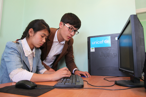
UNICEF Kyrgyzstan is mapping every school and measuring their connectivity in real-time by combining overlays of data sources, satellite images and machine learning. The solution builds on Project Connect’s visualization tool that combines and triangulates school locations from different sources. The tool generates a real-time connectivity map of these schools including through overlays of data sources to understand and optimize education system efficiency in supporting children’s access to education and 21st century skills learning. This will ultimately improve the delivery of learning content through improved connectivity. Mapping every school will identify gaps, measure vulnerabilities and risk and optimize emergency response and service delivery. In the first half of investment period, existing data on schools was validated and additional data collected, including connectivity data, and visualized (see link above). The Ministry of Education and Science is integrating the real-time mapping into their education management information system. Agreements with several mobile and internet service providers, as well as key ministries, have been reached. Real-time data visualized here shows the number of commits made over time on GitHub during the development of the Magic Box platform that is used to pull and analyze school mapping data.