Other Tech
Water Resources in Madagascar: Satellite imagery to improve access to safe water resources in Southern Madagascar
Open Source Repositories

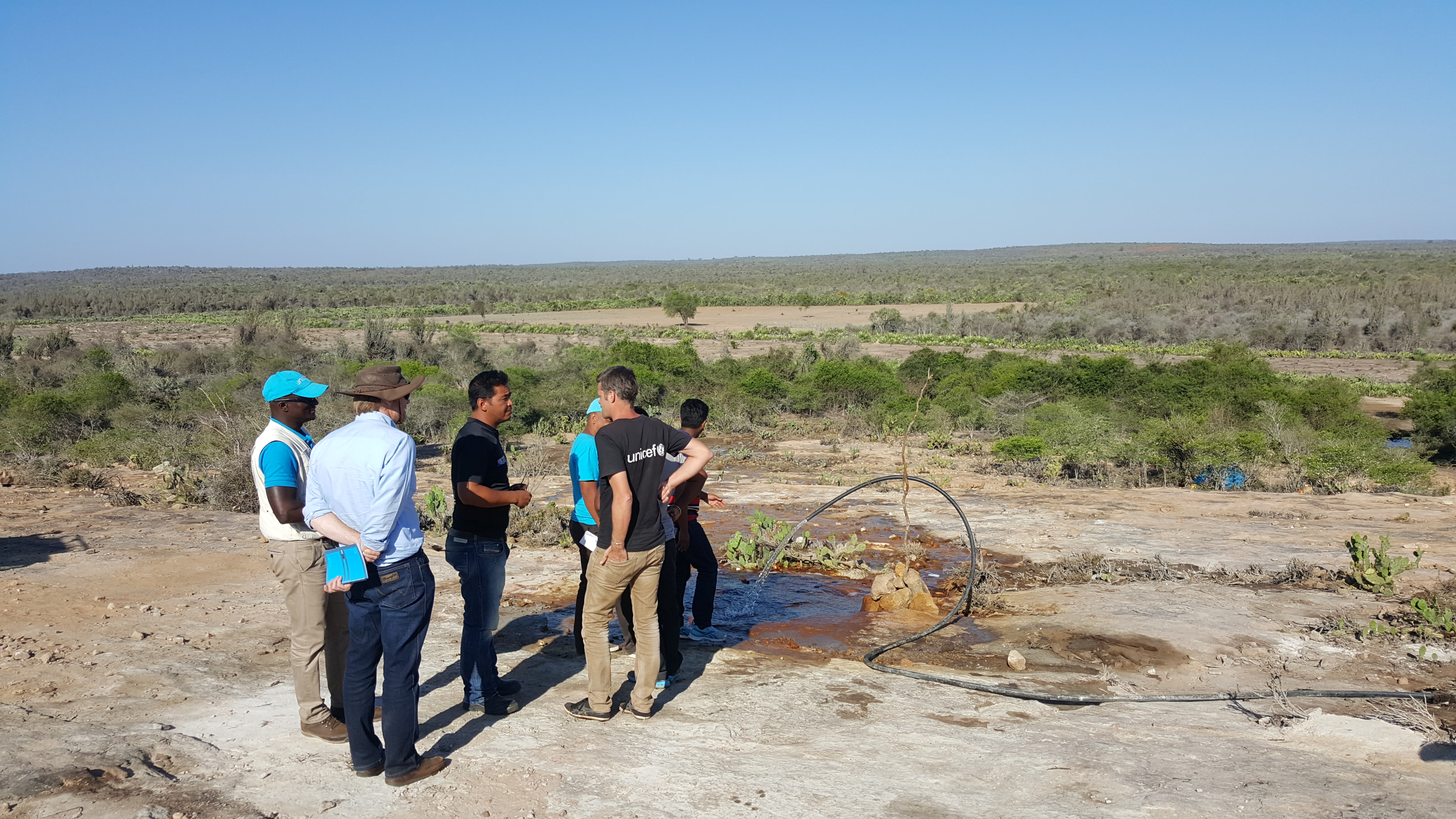
Many of the 11.7 million people in southern Madagascar have no access to safe water and are highly vulnerable. The UNICEF Country Office in Madagascar is exploring the use of new scientific solutions to locate deep primary water resources. This new approach involves using high precision geophysical survey techniques combined with satellite imagery to investigate deep fractures in the ground which are filled with primary water resources formed by the accumulation of water vapor in the lower mantle of the Earth. The study started by collecting data (fracture trace analysis to identify fractures/faults in relation to existing geological data) followed by a field geophysical survey using radiometric and passive seismic technologies. The final phase consisted in the analysis of the collected data to select the appropriate site for borehole drilling. The survey revealed that the four study sites are characterized by a high degree of fractured rocks with a high potential of primary water sources. The next step of this project is the drilling of productive boreholes on the sites identified during the geophysics survey and installation of localized water systems, providing equitable access to safe water for households in southern Madagascar to be more resilient to future droughts and natural disasters. The methodology has been documented and shared for scaling up in other contexts.