Portfolio News

Graduate: Thinking Machines

Thinking Machines Data Science+AI Philippines
Jun 14 , 2019
Baggao town, Cagayan Province, in the Northern Philippines
On this page

Data Science+AI

Thinking Machines

Philippines
Amount invested $449,598 USD Funding Status active growth period Founded in 2016 by Stephanie Sy
Female Founded

Introduction

The UNICEF Venture Fund is proud to see portfolio member, Thinking Machines, graduate. They’ve come a long way – from numerous product iterations to deep diving into understanding their ecosystem better, strengthening their business model, and gearing up to take their solution to market. They’re now ready to collaborate at a larger scale – as they find new pathways to work with partners, investors, and the open source community.

At Thinking Machines, we are utilizing artificial intelligence to extract useful geospatial information from satellite imagery to create useful maps at greater speed, scale, and granularity than ever before.

Notable milestones have been made during our time with the UNICEF Innovation Fund, some of these include, developing a reliable model for estimating average household wealth for every 18 square kilometers of the Philippines, and using satellite imagery, open geospatial data, and nighttime lights. We published our code on Github and released an open source library called GeoMancer that automates some of the feature engineering tasks. In addition, our research was accepted for poster presentation at the AI for Social Good Workshop at the International Conference on Machine Learning 2019, one of the world’s top machine learning conferences!

We’re excited about the potential impact of this solution on improving infrastructure in emerging economies by literally putting hard-to-reach areas on the map for both businesses and governments. 

For example, telecommunication companies need detailed, up-to-date socioeconomic maps so they can plan where to build broadband infrastructure and provide internet access to the next billion internet users. Humanitarian agencies and governments also need more detailed information on the quality of housing and sanitation infrastructure.

We’ve also bagged one our biggest contracts to date – satellite imagery analysis for a major telecommunications company in Southeast Asia. We are currently working on applying and retraining the model to work in other countries in Southeast Asia and South America.

User testing

We spend a lot of time talking to the end users of our data products to better understand how the information we provide can translate to action. Recently, our team visited Bogotá, Colombia for a conference on big data and statistics. We presented our wealth estimation model to the country’s National Statistics Office. During these meetings, we realized that it’s important to define clearly to stakeholders not only what your model can estimate, but also what it can’t estimate. Terms like “wealth” and “poverty” can mean different things to different people, so it’s really important to be clear and specific in describing what you’re measuring.

Monica Acosta (center, in black) speaks with Pia Faustino of Thinking Machines (center, in grey) and Jeff Villaveces (right, in white), country head of iMMAP.
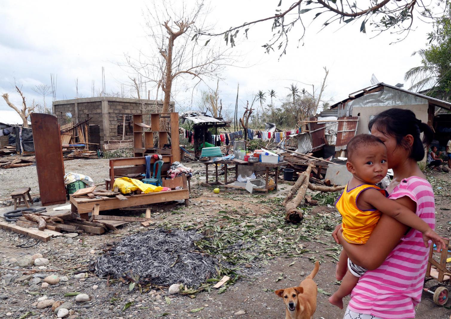
Being part of the Unicef Innovation Fund has created a strong commitment to Open Source in our company

Open source

Since February of this year,  our developers have started holding Open Source Fridays – weekly learning sessions for discussing open source best practices, such as how to structure your repository, how to modularize your code, and how to write a great ReadMe. This has pushed our team to adhere to higher standards when writing code.  

We’re very proud of having created two open source libraries: GeoMancer, a tool for automating geospatial feature engineering for machine learning, and Tiffany, a command-line tool for rendering to TIFF images from Google Static Maps. Our team is now always coming up with ideas for new tools we can create and open source, which helps make our own work more efficient, delivers better results for our clients, and (we hope!) benefits the open source data science community as a whole as well.

Challenges

One of the biggest challenges we face is accessing high-quality training data on which new models can be developed. This is one reason we’re building strategic partnerships with data owners such as telcos and statistical agencies. Another big challenge is simply educating potential customers about our methodologies. Our customers need to understand how machine learning works, how predictions and estimations are created, and the inherent limitations and biases that can influence how the data should be used to inform decisions.

Edegario in his neighbourhood “Rainbow Village” after Typhoon Haiyan

Future collaborations

We’re always looking for potential clients, of course! This includes any organization that needs wide scale, granular, timely, and reliable geospatial data. In the private sector, our key customer segments include companies in telecommunications, utilities, real estate, and fast-moving consumer goods. In the public and social sector, we are looking to work with national statistics offices, development banks, and organizations working in climate change, conservation, urban development, water and sanitation, and human settlements.

In addition to clients, we are also looking for strategic partners. These might include organizations that have access to unique geospatial ground truth datasets on which AI models can be trained, technology companies that specialize in location intelligence products that we can use in the solutions we provide, and research organizations interested in collaborating on new models for social good.

What's next

In 2018, our geospatial analytics services became our company’s strongest new line of business. We are on track to near doubling this business by 2019.  Later this year, we’ll be launching access to our data services API, which will give our clients access to a wealth of geospatial datasets at varying levels of granularity across the Philippines and Southeast Asia.  Meanwhile, our machine learning team is continually improving on the accuracy of our existing models and developing new models.

Our goal by 2020 is to have a fully fledged geospatial data product validated and scaling

Working with the Ventura fund

Our team has benefited immensely from the top-notch mentoring we’ve received from the team at UNICEF Innovation – both from their data science and remote sensing experts, and even from their entrepreneurial coaches. On the machine learning side, our mentorship sessions with Dohyung Kim and Vedran Sekara have really helped us to build and grow our capacity to develop complex machine learning models on top of  large-scale geospatial datasets. On the business side, working with our entrepreneurship mentor Bernino Lind has given us master class lessons in the marketing and sales process, the customer journey, product development, and hypothesis-driven business strategy.

Being part of the UNICEF Venture Fund has also opened doors to new opportunities by helping us create relationships with new strategic partners and more potential clients. Through UNICEF, we partnered with the Qatar Computing Research Institute to explore research collaboration. We also partnered with the non-profit organization iMMAP to use AI-powered satellite imagery analysis for humanitarian aid in Colombia. Being associated with UNICEF has put us in touch with so many more leads in the development space, that we also created a team focused specifically on engagements with the public and civic sectors.

Share this story