
main content start
Drones
ASR: Using drone imagery to improve disaster relief response and economic planning
25
TOTAL COMMITS
ISSUES
6 LOGGEDPULL REQUESTS
0 CLOSEDInvestment Period Activity
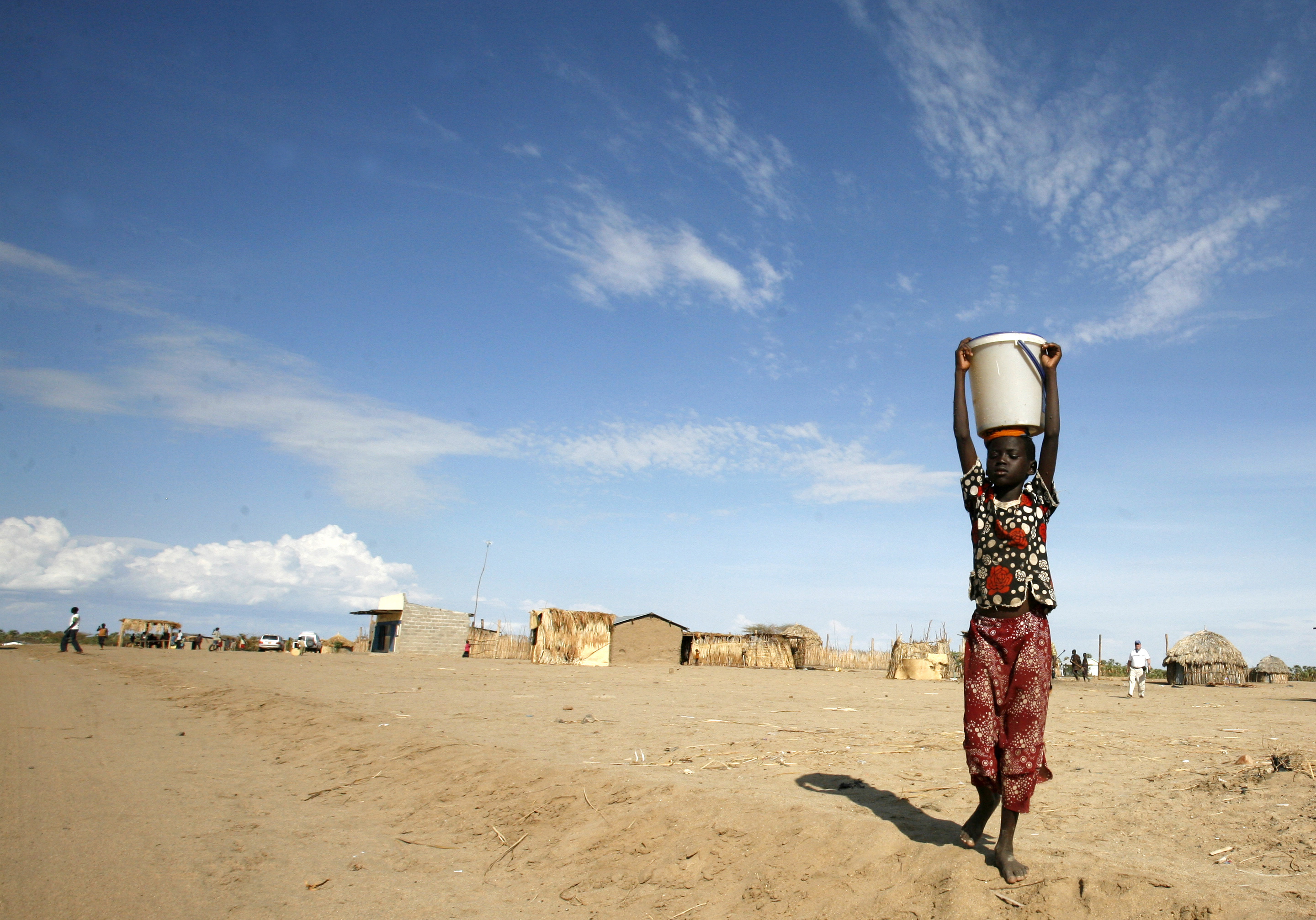
Autonomous Systems Research (ASR) builds infrastructure around software and hardware, to enable aerial missions with drones to develop remote sensing abilities, generate and store data and provide it via web portals and SMS platforms. During the investment period, ASR developed tools and techniques based on drone technology to facilitate the delivery of high-resolution data and deliver it to the target market easily. ASR aims to develop an open ecosystem for the production and enhancement of aerial imaging. To ensure high precision and reliable data collection and analysis for rapid response in densely populated areas, such enhancement is required.
Overall, ASR seeks to establish a national repository of remote sense data to gather statistics in several areas such as crop patterns, the water levels in reservoirs, forest canopy cover, forest level of deforestation, length of trees, and species, among many other metrics. Over time, this data will form patterns and forecasts to guide proactive decision-making.
Alignment with unicef strategic areas
Multiple Sectors or Core Infrastructure
Funding recieved by company
98 K usd
Early-stage Graduation Status